


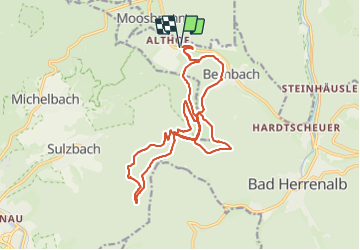

14,8 km | 23 km-effort


Utilisateur


Application GPS de randonnée GRATUITE
 SityTrail
IGN / Instituts géographiques
SityTrail World
Le monde est à vous
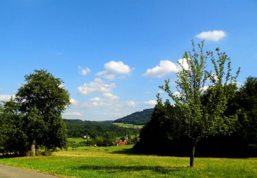
Randonnée Marche de 20 km à découvrir à Bade-Wurtemberg, Landkreis Calw, Bad Herrenalb. Cette randonnée est proposée par MAD-CVW.
Départ parking a droite a la sortie de Altdorf en direction de Bernache. Monter le chemin goudronné, puis le pré à gauche pour rejoindre l'itinéraire losange jaune. Suivre en direction Berstein, possibilité de sentiers non balisés mais bien fréquentés.
Au Bernstein, beau point de vue a 694m et plusieurs possibilitées pour faire le tour du Mauzenberg.
Bel abri et bancs au Bernstein.
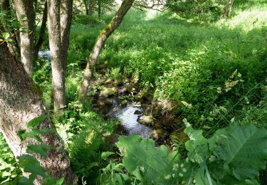
Retour par sentier au-dessus de Bernbach menant au parking près de l'aire d'aéromodélisme.
A pied
A pied
A pied
A pied
A pied
A pied
A pied

A pied
A pied